Thursday March 24, 2005
Last night Dave was coming to the conclusion that he had not yet got his "riding fix". We had spent a lot of time at various stops and he was needing to cover some miles. So we agreed to split for the day. Dave had been up early and brought breakfast back to the room. We packed and headed out of Apache Junction together, but on US 60 east of Florence Junction, Ed and Barry stopped for some photography and Dave continued on.
Beside US 60 west of Superior
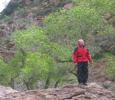
We rode through Superior and on to Globe where we saw signs for the Besh-Be-Gowah Archeological Park. This is believed to have been built and occupied by the same group that created the Tonto cliffdwellings, but perhaps earlier. The Salado were thought to be a subset of Anasazi.
Besh-Be-Gowah Archeological Park
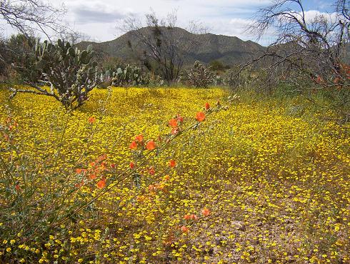
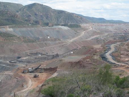
Yesterday we had taken AZ 77 north out of Globe to the Salt River Canyon. Today we take 77 south to Winkelman and then AZ 177 back toward Superior. Dripping Springs Mountains are to our right. We stop to investigate open pit mine trailings. Ed goes crazy with the wildflowers.
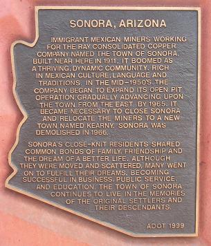
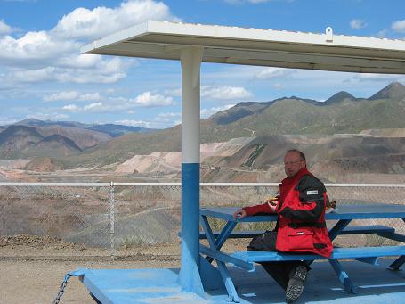
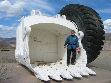
Farther down the road, Barry spotted a sign for an historic marker and pulled off, heading up a lane to an observation area above a huge open pit mining operation. When Ed, who had been leading, noticed that Barry was no longer in his mirror, he turned around. He didn't see the marker sign right away and began looking for skid marks that would give him a clue as to where Barry met his demise. When he convinced himself that Barry had headed to the marker, he did the same. What they found was one of the largest man made excavations ever: the Ray open pit copper mine.
Getting hungry, Ed and Barry pooled their accumulated leftovers, little of which was disgusting, and enjoyed the view over lunch.
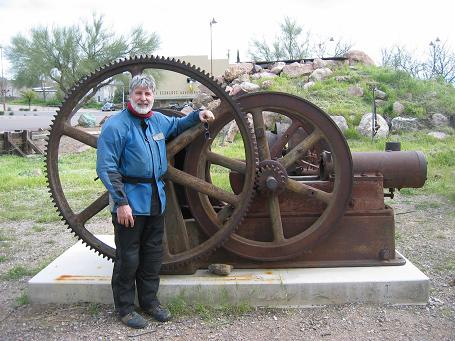
Continuing on, we stopped in Superior at a park featuring relics of older mining days.
While Barry and Ed were climbing on rocks, taking pictures and viewing the big pit, Dave was putting on miles with a loop to the southeast of Globe. However, on his way back to Scottsdale, he stopped at the Casa Grande Ruins National Monument (at the bottom of the map, left side). Casa Grande Ruins was the first archeaological preserve in the US. Learn more at http://www.nps.gov/cagr/.
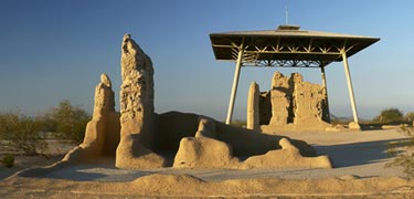
Casa Grande Ruins National Monument
It was time to be heading back to Scottsdale to turn in our motorcycles. Ed and Barry got back before Dave, partly because the Arizona map Barry had given Dave was over eleven years old and didn't show the modern highway improvements in the area. But Dave's intuitions prevailed and he was back with plenty of time to spare. We unloaded the machines, packed our boxes, and said goodbye to the EagleRider folks who left before we did. Dave got on the phone to connect with local friends who would pick him us here.
Ed had organized with his (and now our) friend Cal who graciously picked Barry and him up and took them to his place. Dave later joined them for dinner at a restaurant on the north side of Phoenix.
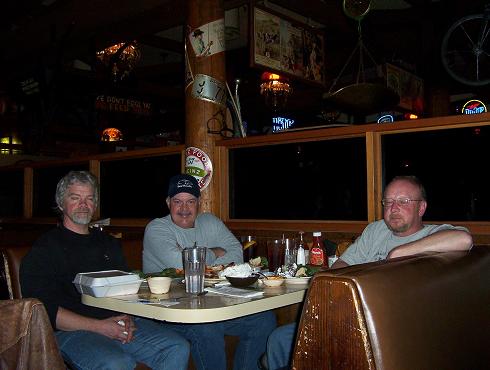
With Cal at dinner (Dave and Ed aren't sleeping, just peaceful)
After treating us to an elevated nighttime view of the city, Cal took us to the Phoenix airport for our return to the reality of Ohio in March. This was a great break and restored our faith that good riding weather will return to Ohio. Thank you to Cal, Regina, Mahlon, Jane, Chase and the many Arizona residents and visitors who contributed.